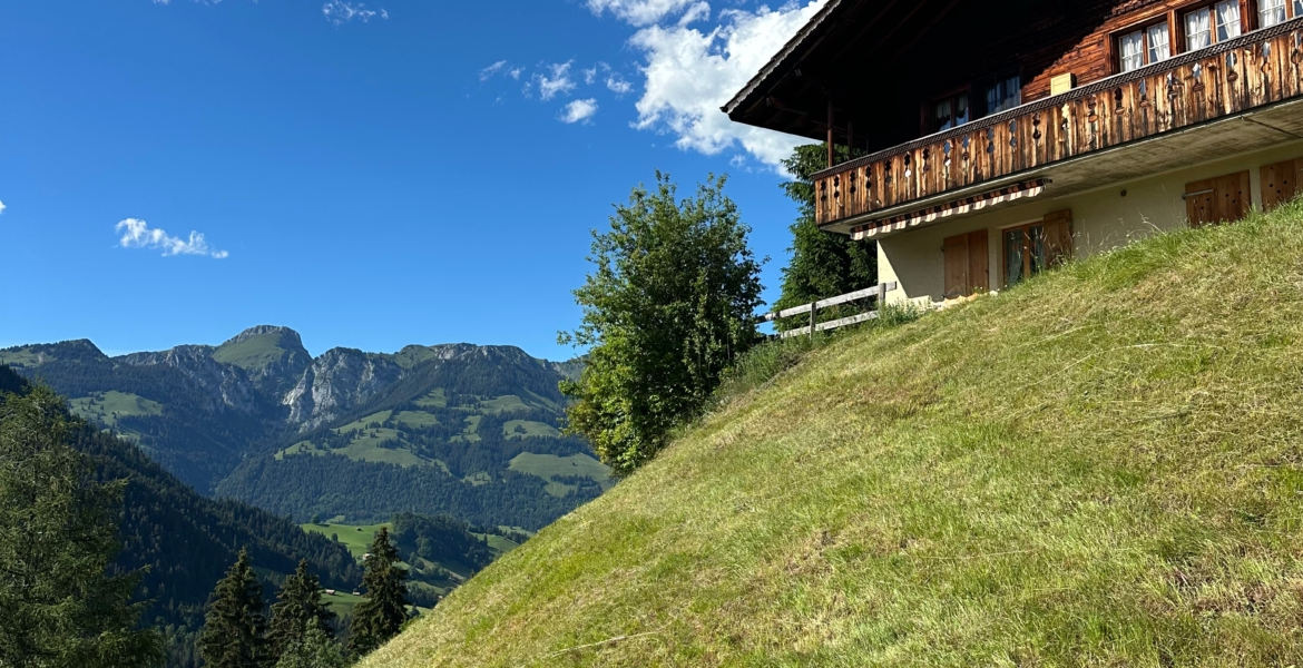
Switzerland is a destination you have to see for yourself. From rushing waterfalls and wildflower meadows, to towering mountain peaks and turquoise lakes, Switzerland has it all. If you enjoy hiking, sightseeing, and postcard-worthy views, a road trip through Switzerland should be on your bucket list. To help you plan, here’s the perfect itinerary for a 7-day Switzerland road trip.
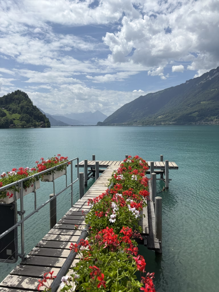
We spent a week road tripping Switzerland back in June, and it was everything we imagined and more. While Switzerland can be an expensive country to visit, renting a car instead of traveling by train can make it way more affordable.
When to Visit Switzerland
For our 7-day Switzerland road trip itinerary, the best time of year to visit would be from late June to late September. You’ll have the best weather and hiking trails will be accessible.
Switzerland Travel Tips
To make your trip go smoothly, here are a few travel tips.
-Make sure your rental car includes a Swiss motorway vignette.
-Purchase an eSIM before your trip. Holafly is the eSIM provider we use for unlimited data on all of our trips. You can use the code MCMILLANS for 5% off your Holafly eSIM purchase.
-Download your driving route as some areas have limited cell service.
-If you purchase groceries when traveling, everyone talks about shopping at Coop in Switzerland. For cheaper prices, try Migros or Aldi instead.
Read More: 8 International Travel Essentials
Renting a Car vs. Train Travel
If you’re trying to visit Switzerland affordably, renting a car is the way to go. While you will have to pay for gas and parking, you’ll have more flexibility in where you go and where you stay.
While Switzerland has an amazing public transit network, traveling via train and bus will take some additional planning. A Swiss Travel Pass which covers unlimited travel via train, bus, or boat is $499 per person. In total, our 7-day car rental, gas, and parking costs were less than one Swiss Travel Pass.
Where to Begin Your 7-Day Switzerland Road Trip
For this itinerary, you’ll begin and end your road trip in Geneva. While Geneva has an international airport, it is also really easy to get to Geneva by train from other European countries. We used Omio to easily book a 3-hour train from Paris to Geneva, getting off at the airport to pick up our rental car.
While we had planned on exploring Geneva, we arrived on the same day as the G7 Summit protests, so we did not get to see the city.
The Perfect 7-Day Switzerland Road Trip Itinerary
Days 1-3: Interlaken, Lauterbrunnen, Oeschinensee, Rosenlaui Valley, and Lake Brienz
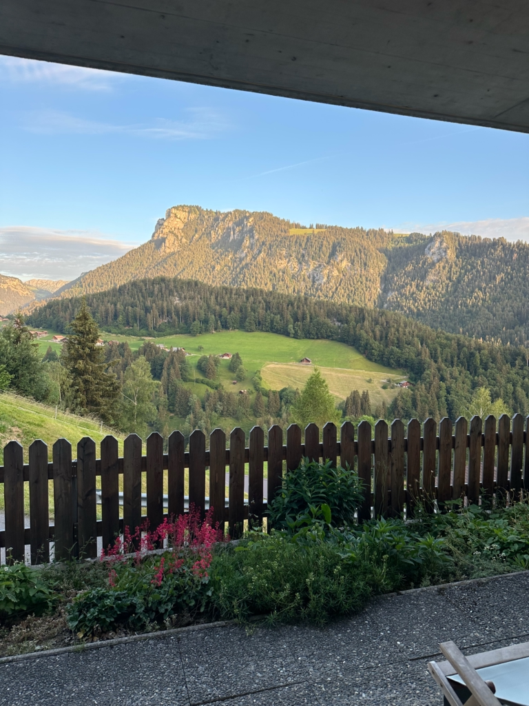
To begin your Switzerland road trip, drive about 2.5 hours from Geneva to Interlaken. Interlaken is a great base for exploring the first few days, but if you’re looking for a more cost effective stay, consider staying outside of the city. We stayed in this Airbnb in Diemtigen and had the prettiest mountain views.
Interlaken
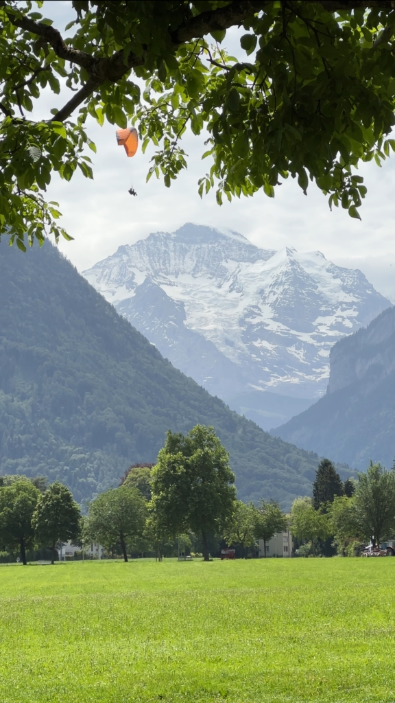
If you’re up for the adventure, Interlaken is the place to go paragliding in Switzerland. You can also sit in Hohematte Park and watch the paragliders land, which is what we chose to do. We’ve been skydiving before, but somehow running off the edge of a cliff seems worse.
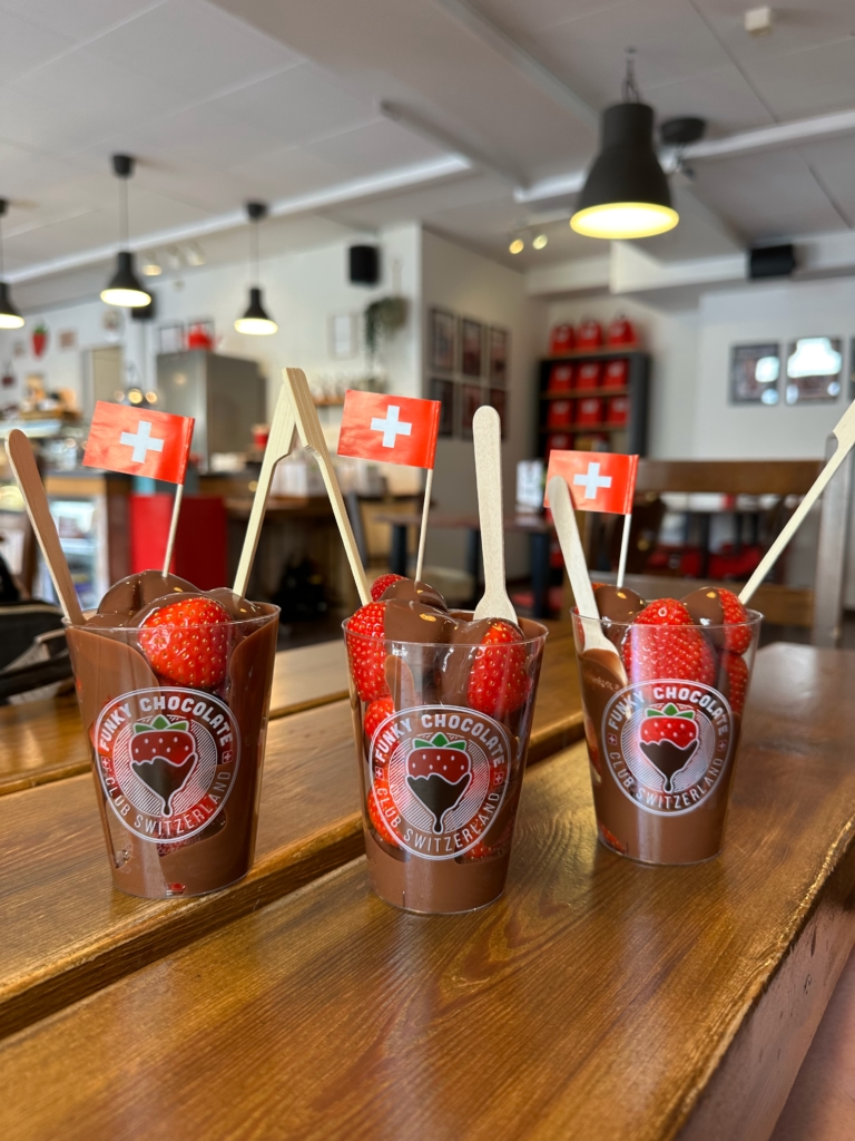
Interlaken has many shops and restaurants, but if you’re looking for Swiss chocolate, check out Funky Chocolate Club. We had their chocolate covered strawberries, and they were so good.
Lauterbrunnen
Parking: Pfrundmatte 423, 3822 Lauterbrunnen, Switzerland
The Lauterbrunnen Valley is one of the most beautiful places in Switzerland and known for its 72 cascading waterfalls. You could easily spend an entire day here.
Lauterbrunnen Valley Walk
This 4.2 mile walk begins at the Lauterbrunnen Train Station and ends in Stechelberg. You don’t have to walk the entire path; you’ll be greeted with scenic views pretty quickly. Biking this path is another option. You can find e-bike and regular bike rentals in Lauterbrunnen at Imboden Bike.
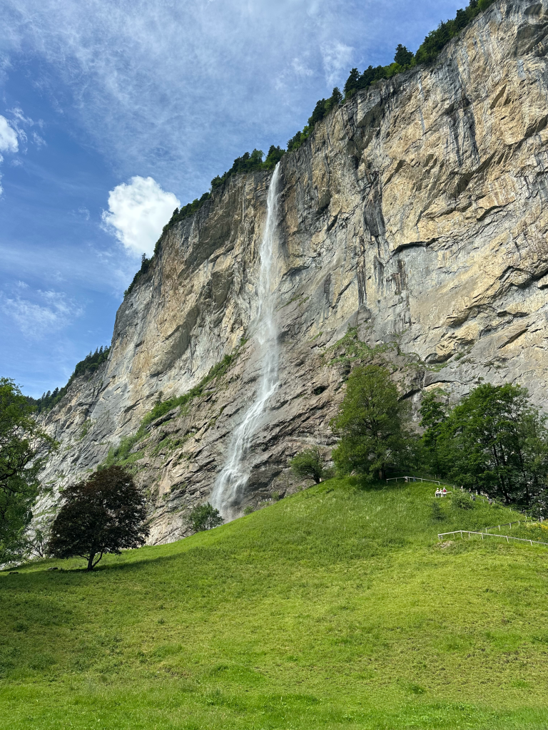
Staubbach Falls
Staubbach Falls is the most famous waterfall in Lauterbrunnen, but did you know you can hike to a viewing platform behind it? If you walk towards the falls, you’ll find a short (and steep) .6 mile trail. Follow this trail to the top where you’ll find some stairs to a viewing platform. While you probably don’t need hiking boots for this, be careful as the area near the top of the falls is wet and slippery.
Instagram Photo Viewpoint
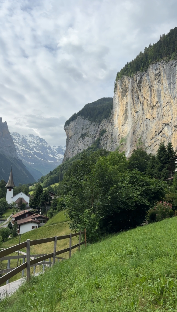
You’ve probably seen photos at this viewpoint all over Instagram, but it’s not the easiest to find. From the parking area listed above, walk past the church and cross the street. Follow the path up to the viewpoint. Because this is such a popular photo spot, you might have to wait in line for a photo.
Betty’s Corn Dogs
If you’ve read any of our other blog posts, you know we rarely talk about food, but we had to try Betty’s Corn Dogs. You can find this Korean corn dog truck in Lauterbrunnen serving corn dogs and Swiss cheese pulls with a variety of coatings and sauces. While I was not a huge fan, Reece really enjoyed it.
Oeschinesee Hike
Cost: 40 CHF/about $50 USD
Difficulty: Moderate
Distance: about a 5.5 mile loop
Oeschinensee is a beautiful turquoise lake in the Jungfrau region of Switzerland. You can take a short hike from the top of the Kandersteg cable car station to the lake shore, or you can hike the Panorama Trail to a viewpoint above the lake. We did both, but if you’re looking for that bright turquoise color, the lake is better seen from above.
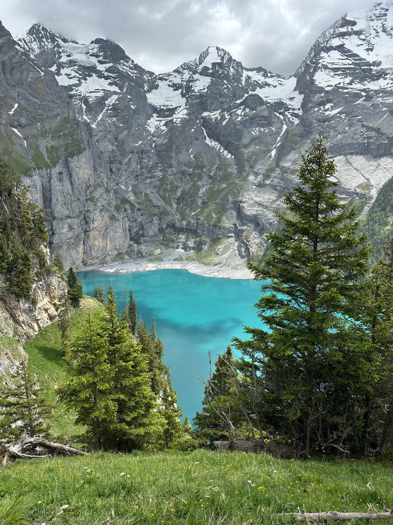
To access the Panorama Trail, you’ll take the Kandersteg cable car up to Oeschinensee. From here, you’ll follow signs for Heuberg. It was a bit overcast during our hike, but the view was still absolutely stunning. Maybe save this one for sunny weather. Alternatively, you can save money and skip the cable car. You’ll start from the Kandersteg train station and hike up a very steep incline. We saw a few people doing this, but we chose to save our legs for other hikes we had planned.
Rosenlaui Valley
While the Rosenlaui Valley is about an hour from Interlaken, you can’t miss it. We made it just in time for sunset, and the views were unmatched. When researching how to get to the Rosenlaui Valley, many people said the road was narrow. However, we didn’t find the road to be anything too stressful or dangerous.
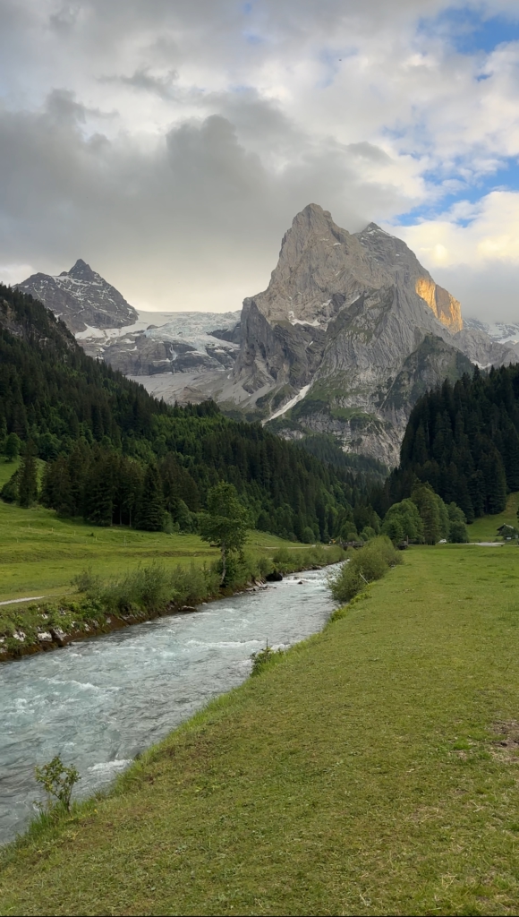
If you’re looking for this exact photo spot, look up Gschwandtenmaad in Google Maps.
Lake Brienz
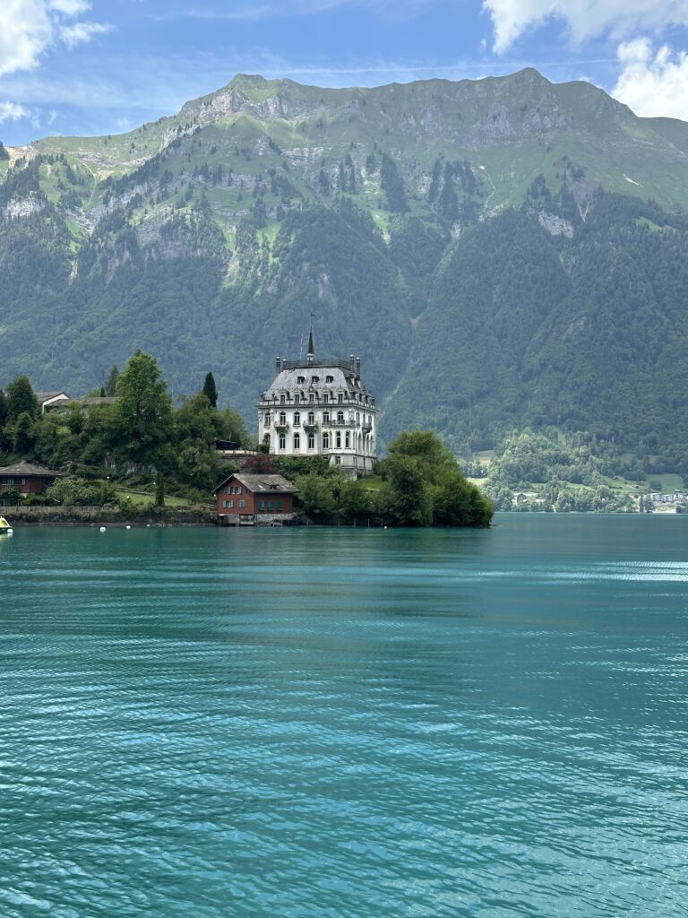
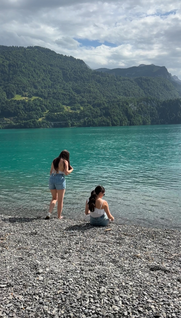
Lake Brienz is a turquoise-colored alpine lake perfect for boating, swimming, or taking in the view from the shore. We visited the town of Isetwald and walked along Lake Brienz, and we also spent an afternoon relaxing and skipping rocks near Stranded Brienz.
Read More: 5-Day Austria Road Trip Itinerary
Days 3-5: Lucerne, Stoos Ridge, and Staubifall
Lucerne
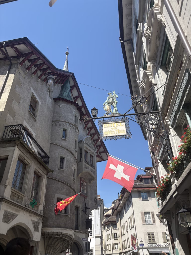
About an hour from Interlaken, the historic city of Lucerne is one of the prettiest cities to visit in Switzerland. The historic Chapel Bridge lined with flowers is the oldest surviving wooden covered bridge in all of Europe.
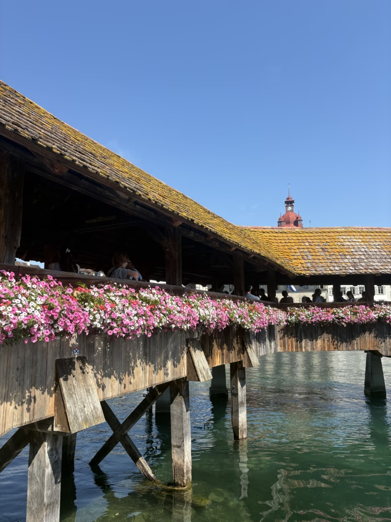
In addition to walking across Chapel Bridge, we highly recommend walking around Altstatdt or Old Town Lucerne. The architecture is just beautiful.
Stoos Ridge Hike from Klingenstock to Fronalpstock
Cost: 58 CHF/about $73 USD
Difficulty: Moderate to Challenging
Distance: about 3 miles
Stoos Ridge is one of the most popular hiking trails in Switzerland. This ridge hike overlooks Lake Lucerne and has 360-degree views of the Swiss Alps. You’ll be stopping a lot for photos.
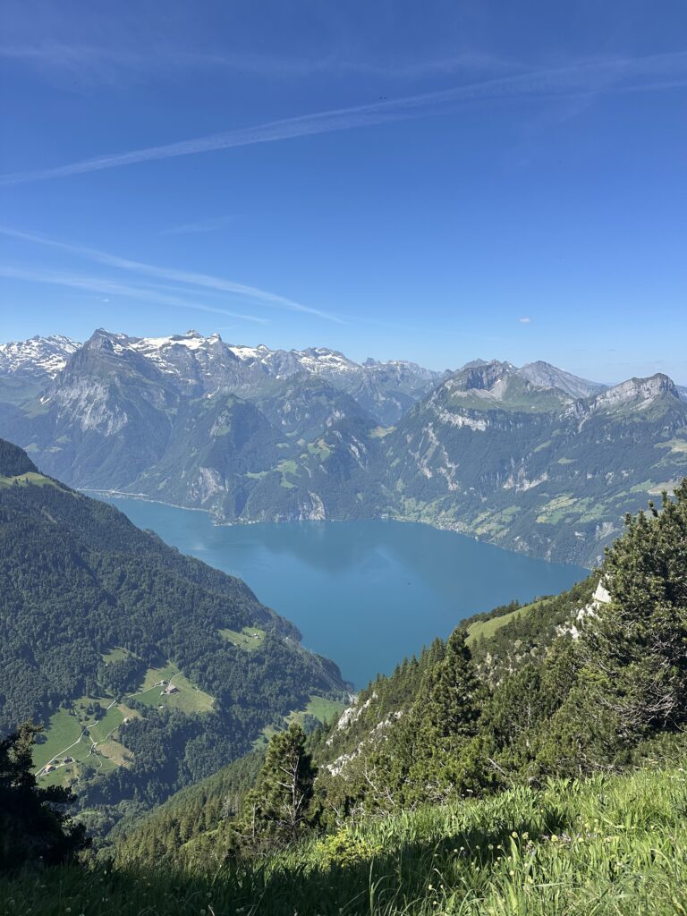
To easily get to the trailhead, purchase the Stoos Peak Experience Ticket. With this ticket you’ll take a funicular (the steepest in the world) from Schwyz, walk about 15 minutes to the chair lift station, then take the chair lift from Klingenstock. You’ll end your hike at the Fronalpstock chair lift station, descend, then take the funicular back down to Schwyz. This is a very popular hike in Switzerland, so be prepared for crowds. We booked the first time slot of the day, and the trail was still extremely crowded.
This hiking trail is fully exposed with no shade. Wear sun protection!
Staubifall Hike
Cost: pay per hour for parking
Difficulty: Easy
Distance: about 4 miles
This easy hike leads to one of Switzerland’s most powerful waterfalls and ended up being one of our favorite views of the whole trip. At over 300 feet in height, this waterfall is best to visit in the summer months when the snowmelt creates a dramatic flow. You’ll want to plan your hike for the afternoon, as Staubifall is shaded for most of the day. We got to the falls around 2 pm, and it was fully lit and perfect for photographing.
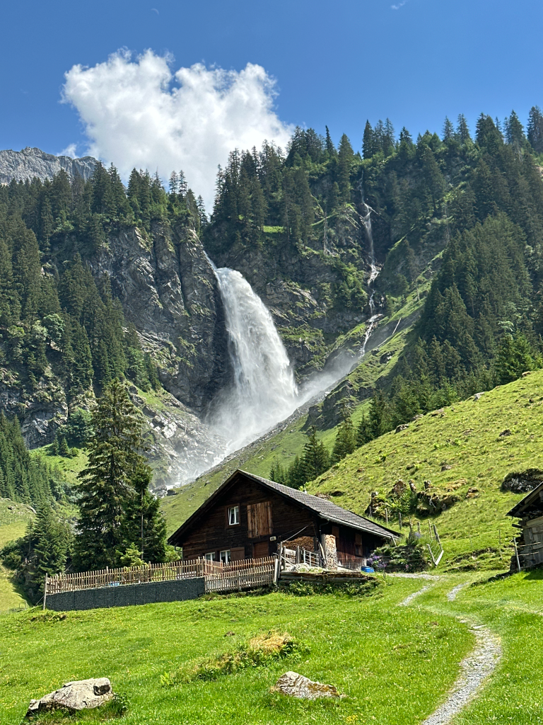
Start your hike in the town of Unterschachen where you can park at the Stellplatz campground. You may also be able to find parking at the Ribi-Wannelen cable car station, but parking fills up quickly in the summer.
From the town of Unterschachen, you’ll begin hiking towards Ribi. Once you get to Ribi, you’ll hike along a service road to get to the falls. The trail is mostly shaded, not too steep, and has beautiful views along the way. Keep in mind that the farmhouses near the waterfall are private property, so be respectful and stay on the trail.
Read More: The Ultimate 10-Day Southern England Road Trip Guide
Days 5-7: Appenzell, Saxer Lucke, and Schafler Ridge
Appenzell
About 2 hours away from Lucerne, the Appenzell region of Switzerland has some of the most dramatic scenery in Switzerland. Thanks to social media, it is becoming a more popular tourist destination, but you will find it to be less crowded than most of the places on this itinerary.
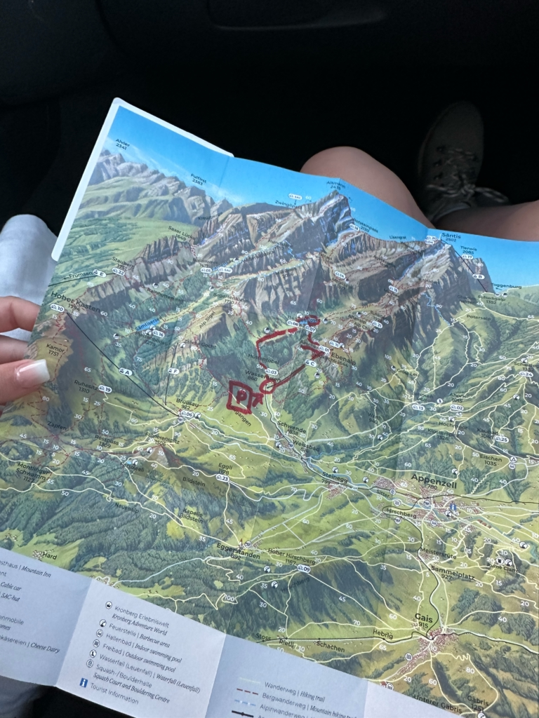
If you’re visiting the Appenzell Alps, we highly recommend staying at this Airbnb. The host, Akin, was one of the kindest hosts we’ve ever met. Not only did he send us recommendations before we arrived, he talked to us about our plans when we got to his home. He planned an entire hike for us and when we left early the next morning, he had left a map with the route marked outside our door.
Saxer Lucke Hike
To hike to the stunning Saxer Lucke viewpoint, you have three options.
Saxer Lucke via Frumsen-Staubern Cable Car
Cost: 40CHF/about $50 USD
Difficulty: Moderate
Distance: 5 miles
White-Red-White Trail
Saxer Lucke via Brulisau-Hoher Kasten cable car
Cost: 40 CHF/about $50 USD
Difficulty: Moderate to Challenging
Distance: 10.5 miles
White-Red-White Trail
Saxer Lucke from Brulisau
Cost: 8 CHF/ about $10 USD for 24 hour parking
Difficulty: Challenging
Distance: 12.2 miles
While we decided to save money by skipping the cable car and hiking from the town of Brulisau, we highly recommend NOT doing this. It made for the most memorable day of our Switzerland trip, but it was rough. Taking the Frumsen-Staubern cable car and beginning the hike from the Staubern cable car station is the shortest option. Alternatively, if you want a longer hike, you can take the cable car from Brulisau to Hoher Kasten and begin hiking from there.

The trail is scenic and had lots of wildflowers, but nothing compares to the Saxer Lucke viewpoint. Plan to spend some time at the viewpoint before heading back down to the cable car station. There are plenty of spots to sit, take photos, and admire the view.
Schafler Ridge Hike via the Ebanalp Cable Car
Cost: 36 CHF/ about $45 USD
Difficulty: Challenging
Distance: about a 4.5 mile loop
We had originally planned to hike this trail at sunset during our time in Appenzell, but unfortunately the weather did not allow it. You’ll begin this hike at the top of the Ebenalp Cable Car station and hike towards the Schafler Hut. Once you arrive at the Schafler Hut, you can head back to the cable car station or hike along the ridge. Do your research before hiking this trail to decide if you’re comfortable doing this, as it can be very dangerous. The views of Schafler Ridge look absolutely stunning, and we can’t wait to go back to Switzerland one day and cross this hike off of our bucket list.
After your time in Appenzell, drive about 4 hours back to Geneva.
Whether you follow our 7-day Switzerland road trip itinerary exactly or use it as inspiration for your road trip through Switzerland, we hope it was helpful to you. You can find more Europe road trip itineraries, here.
Read More: 10-Day Italy Itinerary: The Dolomites, Cinque Terre, Florence, and Rome